
Research presentation
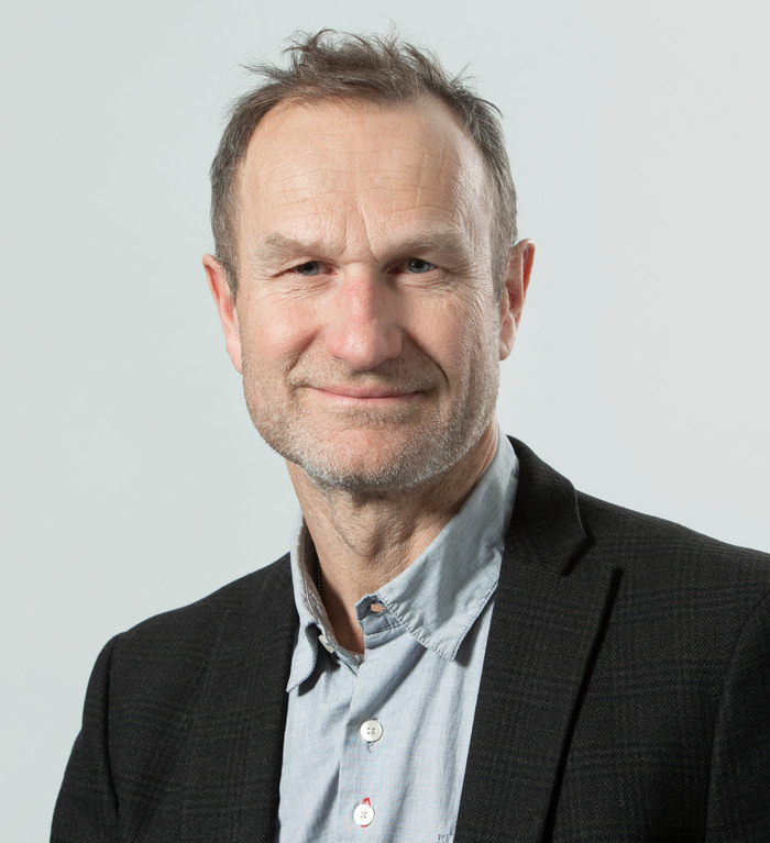
Stephan Barthel
Professor, docent in Geospatial Information Science
Research subject: Environmental Science
Email: stephan.barthel@hig.se
Telephone: +46 76 360 57 05
Professor Stephan Barthel leads challenge driven research programs on green cities and on the role that civil society play in a fair climate transformation. He actively integrate scholars with different knowledge systems in co-creation to strengthen the resilience of socio-ecological functions in the outdoor environment in urban landscapes during a transformation towards a fossil-free future. Furthermore he has the mission to translate academic research into trans-disciplinary collaborations and co-creation projects with actors outside academia.
CURRENT RESEARCH
READ MORE ABOUT
Stephan Barthel has multiple streams of urban sustainability research ongoing. He concentrates on the various ways urbanization can promote individual health and well-being (see ZEUS below). He is also interested in supporting research that creates better understanding for how to strengthen human-environmental relations in metropolitan landscapes (Barthel et al., 2018). A third research stream, currently employing one PhD-candidate, is the exploration of designs for enabling broad-based shifts towards pro-environmental behaviour in cities. While we find ourselves in the midst of the digital revolution, resilience analysis will also be performed on smart (digital) city developments.
Barthel currently leads a Formas project called ZEUS. Objectives of this project include developing, in a PhD-project, a methodology to evaluate and analyze spatial accessibility to both ecosystem services and simultaneously to urban services, and to evaluate how such access impact on inhabitants’ everyday experiences. A second objective is to develop an open database by constructing primary levels of data from 1) a PPGIS study; 2) spatial distribution of the population; and 4) data about the ecosystem service of temperature regulation. At later stages in the project we aim to include data on noise-and air pollution as well as a greater number of ecosystem services. The project draws on public participation GIS study (PPGIS) on Stockholm and Knivsta. This PPGIS is designed to capture positive and negative experiences of the citizens.
Barthel is also part of the board for the Inter-reg. EU project called Augmented Urbans (AU). This project refers to strengthening the integration of three aspects in urban planning: timeframe, participation and technology. It improves stakeholder participation and linkage between the long-term visions and short-term actions in the cities for enhancing urban resilience. For this, new augmented, virtual and mixed reality technologies (AR, VR & MR) are explored and utilised as tools as they hold great potential for supporting urban planning processes in guiding discussions, and providing immersive scenarios.